
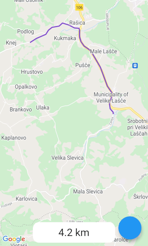
 v1.1.2
google_maps_routes
一個透過使用 Google 地圖方向 API 在 Google 地圖上繪製路線的套件。
29喜歡 850近 30 天下載140Pub 分數
AndroidiOSWeb
一個透過使用 Google 地圖方向 API 在 Google 地圖上繪製路線的套件。
以下為英文專案原文快照,最新內容請造訪 GitHub。
This is a package for creating routes on google maps using the directions API from Google. Routes are drawn with help of the flutter_polyline_points package.
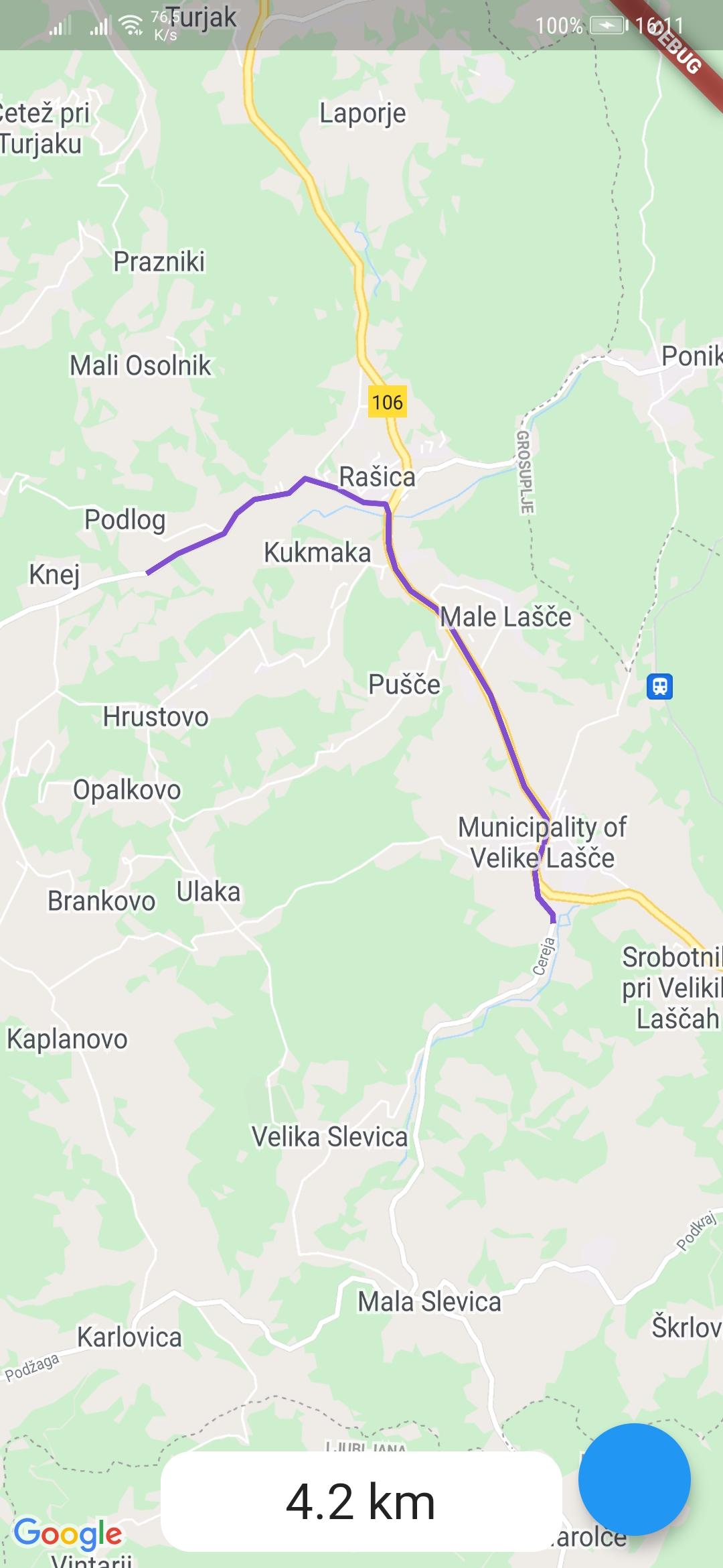
To use the google_maps_routes package, first depend on it.
Then import it where you want to use it
import 'package:google_maps_routes/google_maps_routes.dart';
To use it you need a List of points like this:
/// LatLng is included in google_maps_flutter
List<LatLng> points = [
    LatLng(latitude, longitude),
    LatLng(latitude, longitude),
    LatLng(latitude, longitude),
    LatLng(latitude, longitude),
];
Then you need to instantiate this plugin
MapsRoutes route = new MapsRoutes();
To create a route, just call the following function:
/// routeName is a string and can be anything; it can include spaces but
/// they will be replaced with a dash
/// example: 'Example route' turns into 'Example-route'

/// color is a Color type and will be used as the polyline color:
/// example: Color.fromRGBO(130, 78, 210, 1.0)

/// googleApyKey is a string and is a google directions API key
/// example: get it at
/// https://developers.google.com/maps/documentation/directions/get-api-key
await route.drawRoute(points, routeName, color, googleApiKey);
To use a different travel mode, use the travelMode parameter.
/// Options: driving, bicycling, transit, walking
await route.drawRoute(
    points,
    routeName,
    color,
    googleApiKey,
    travelMode: TravelModes.walking
);
To display the polylines you need to add a polylines parameter to your google map widget.
GoogleMap(polylines: route.routes),
If you ever want to clear the routes, just call:
route.routes.clear();
If you want to calculate the distance of the route use you call the following function with the same List of points you used for drawing the route. You can also use it by itself.
/// Initialize a calculator
DistanceCalculator distanceCalculator = new DistanceCalculator();

/// Call a function that returns a string
/// Pass it the List of points
/// By default it will return with 1 decimal point but you can pass an
/// option that changes that
distanceCalculator.calculateRouteDistance(points, decimals: 1);

依賴清單 4 項
{"sdk":"flutter"}^1.0.0^2.0.3{"sdk":"flutter"}先依使用情境篩選,再比較專案活躍情況,最後到原始儲存庫確認使用要求。
“A repository is the most basic element of GitHub.”
GitHub Docs — About repositories ↗