
 v8.3.2
flutter_map
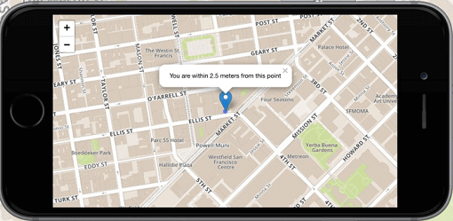
Flutter 的首選非商業地圖客戶端:易於使用、多功能、無供應商依賴、完全跨平台,且 100% 純 Flutter
2180喜歡 82.5萬近 30 天下載160Pub 分數
AndroidiOSWebmacOSWindowsLinux
SMASH Android/iOS 數位野外地圖應用程式原始碼。
 v8.3.2
Flutter 的首選非商業地圖客戶端:易於使用、多功能、無供應商依賴、完全跨平台,且 100% 純 Flutter
 v10.1.0
官方擴展影像,支援佔位符(載入中)/失敗狀態,快取網路,縮放/平移,相簿檢視,滑出頁面,編輯器(裁切、旋轉、翻轉)、繪圖等。
 v4.0.1
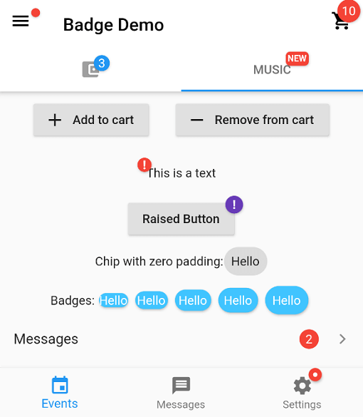
一個用於建立徽章的套件。徽章可用於任何組件的額外標記,例如在購物車中顯示項目數量。
在您的組件完成首次佈局後執行程式碼,也就是在第一幀顯示後執行。
用於防止非同步程式碼並發存取的鎖機制。
一個 Flutter 地理編碼外掛,提供簡單的地理編碼與反向地理編碼功能。
一個用於操作堆疊追蹤並以易讀方式列印它們的套件。
官方 Dart 程式碼檢查規則。定義了 Dart 團隊建議的「核心」與「推薦」程式碼檢查集合。
 v4.1.0
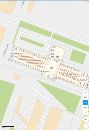
使用純 Flutter 程式碼實作離線地圖。支援旋轉、標記、陰影渲染等功能。
一個 Flutter 插件,即使應用被終止也能請求位置。在背景中將位置發送到 Dart 函數,還提供公尺過濾功能。
 v0.10.1
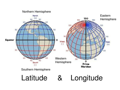
用於常見緯度和經度計算的輕量級程式庫
 v8.0.0
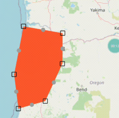
`flutter_map` 的基本線條和多邊形編輯器,使用拖曳標記
{"sdk":"flutter"}{"sdk":"flutter"}^0.18.1^0.4.0{"path":"./smashlibs/"}^6.0.4^3.8.3^4.0.7^1.1.0^0.8.1^0.3.0+1^1.1.0^0.6.3^0.3.3+4^8.0.0^8.1.1^1.4.2^3.0.1^0.9.1^3.0.0^2.0.1^0.5.39^10.0.1^1.0.0^12.0.1^3.0.0+3^3.0.2^1.2.0^8.0.2{"git":{"url":"https://github.com/moovida/background_locator_2","ref":"sanak/develop"}}2.0.1^1.11.0^6.1.5^6.1.0^2.3.0^0.13.1^1.24.3^1.0.1以下為英文專案原文快照,最新內容請造訪 GitHub。
A digital field mapping app for Android and iOS
for fast qualitative engineering/geologic surveys and GIS data-collection.
More info on the SMASH homepage
Help translate SMASH on Hosted Weblate.
Translation status
You can always add other languages.
# To solve Weblate duplicated translation issue
echo '{}' > lib/l10n/intl_nb.arb
echo '{}' > lib/l10n/intl_zh.arb
flutter pub get
flutter gen-l10n
flutter run
Or download the latest APK from the Releases Section.