
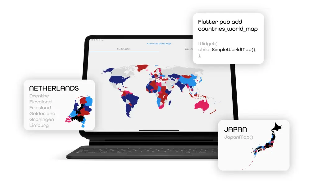
Overview
A customizable Flutter widget for displaying a world map where countries can be individually colored based on ISO two-letter country codes or state IDs. Ideal for visualizing data such as global statistics, user locations, or regional trends. The map is lightweight and supports multiple platforms including Android, iOS, Web, macOS, Windows, and Linux. It allows developers to easily highlight specific regions with dynamic color schemes.
Use cases
- Visualizing global data by country
- Highlighting user locations on a map
- Displaying regional statistics
- Creating interactive country selection interfaces
- Customizing map colors per region
Key features
- Color customization by ISO country code
- Support for multiple platforms
- Lightweight and easy to integrate
- Dynamic coloring based on state ID
- Simple API for country-specific styling
Suitable for
- Data visualization apps
- Travel and location-based services
- Global analytics dashboards
- Educational tools with maps
- Interactive web and mobile applications
Considerations
- Requires valid ISO country codes for coloring
- Limited to predefined country boundaries
- Performance may vary with high-resolution maps
- Not suitable for detailed geographic analysis
- Map data updates depend on package maintenance