
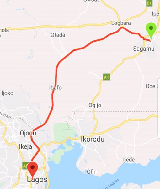
Overview
A Flutter package that converts geographic coordinates or Google encoded polyline strings into a list of latitude and longitude points. It simplifies the process of working with polylines in maps by decoding complex polyline data commonly used in routing services. Ideal for displaying routes, paths, or travel tracks on maps within Flutter applications. The package supports multiple platforms including Android, iOS, macOS, Windows, and Linux, ensuring cross-platform consistency.
Use cases
- Displaying map routes from encoded polylines
- Converting coordinate lists to polylines
- Integrating with navigation or tracking features
- Rendering custom paths on maps
- Processing route data from APIs
Key features
- Supports Google encoded polyline decoding
- Handles raw coordinate arrays
- Cross-platform compatibility
- Lightweight and easy to integrate
- Provides accurate point conversion
Suitable for
- Map-based apps with routing
- Location tracking applications
- Navigation tools
- Route visualization features
- Developers using Google Maps API
Considerations
- Requires valid input data (coordinates or encoded string)
- Does not handle map rendering itself
- Depends on external map widgets for display
- No built-in error handling for malformed inputs
- Limited to polyline point extraction only