
Overview
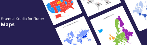
Syncfusion Flutter Maps is a powerful library for building interactive, customizable maps in Flutter applications. It supports visualization using shape files and WMTS services, enabling developers to display detailed geographical data with rich styling and interactivity. The package offers features like map layers, markers, annotations, and zooming/panning controls, ideal for location-based apps requiring precise spatial representation. It's compatible across all major platforms including Android, iOS, Web, macOS, Windows, and Linux.
Use cases
- Geospatial data visualization
- Interactive mapping dashboards
- Location-based analytics
- Custom route planning
- Real-time tracking interfaces
Key features
- Support for shape files and WMTS
- Highly customizable map layers
- Interactive zoom and pan
- Marker and annotation support
- Cross-platform compatibility
Suitable for
- Enterprise mapping solutions
- Data visualization apps
- GIS-integrated applications
- Mobile and web location services
- Complex geographical reporting
Considerations
- Requires knowledge of geographic data formats
- Large bundle size due to extensive features
- Potential performance impact with high data density