
v8.3.2flutter_map
Flutter का नंबर 1 गैर-वाणिज्यिक लक्षित मानचित्र क्लाइंट: यह उपयोग में आसान, विविध, विक्रेता-मुक्त, पूरी तरह से क्रॉस-प्लेटफॉर्म है, और 100% शुद्ध-Flutter
सार्वजनिक परिवहन में ओपनस्ट्रीटमैप संगत पहुँचयोग्यता डेटा एकत्र करने के लिए ऐप
यह अंग्रेज़ी मूल स्नैपशॉट है। नवीनतम सामग्री GitHub पर देखें।
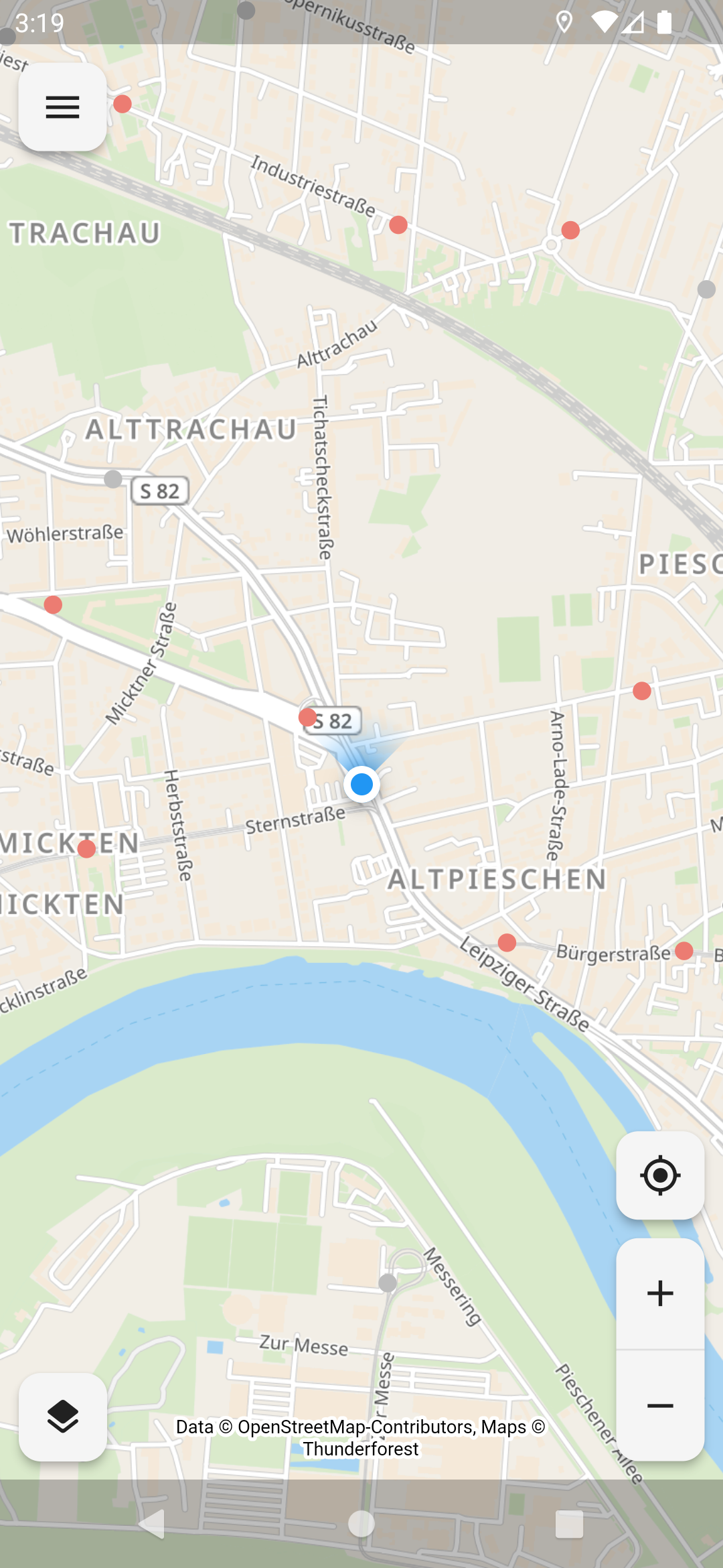
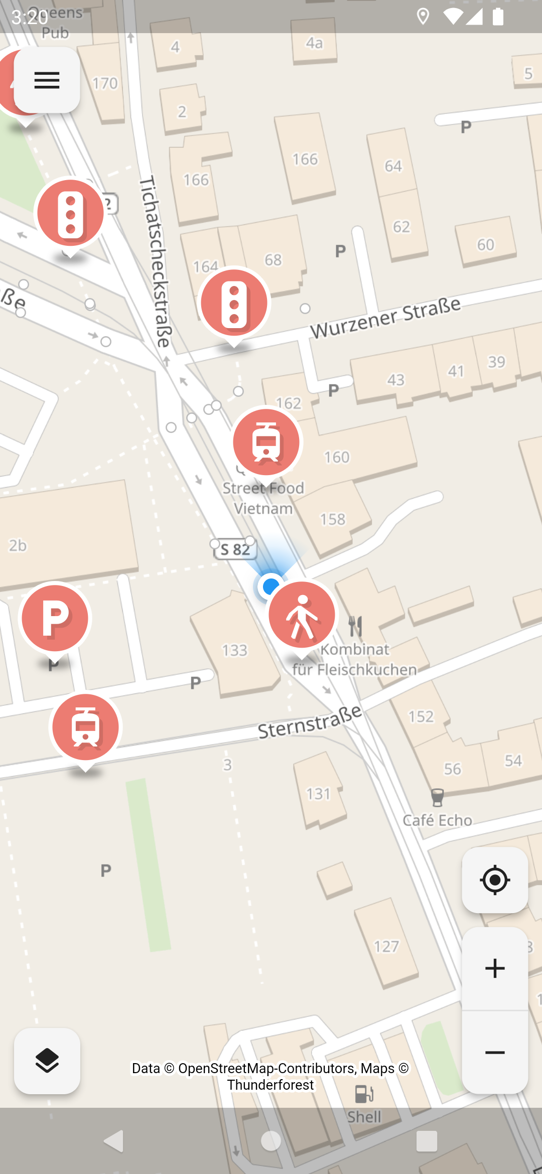
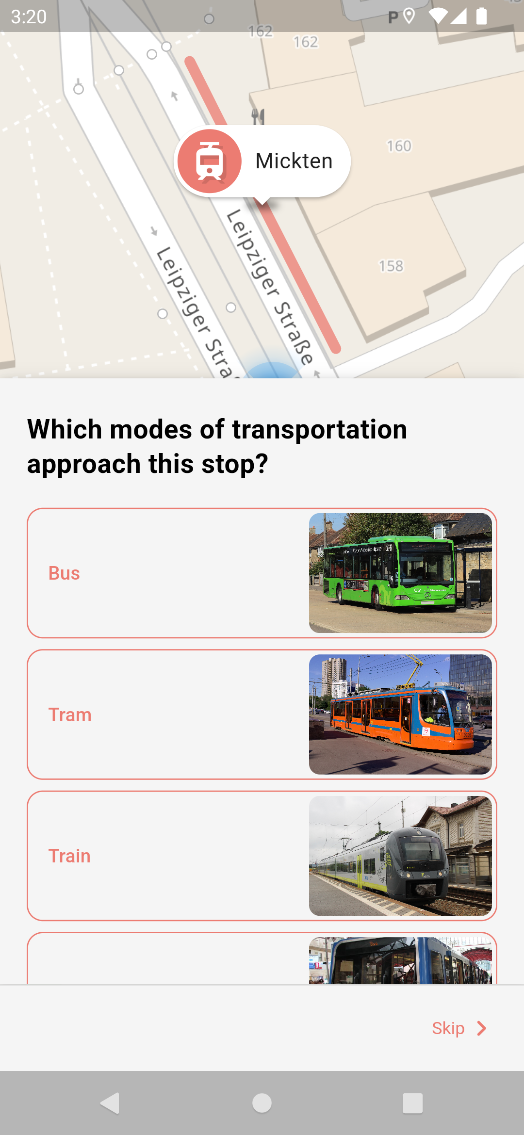
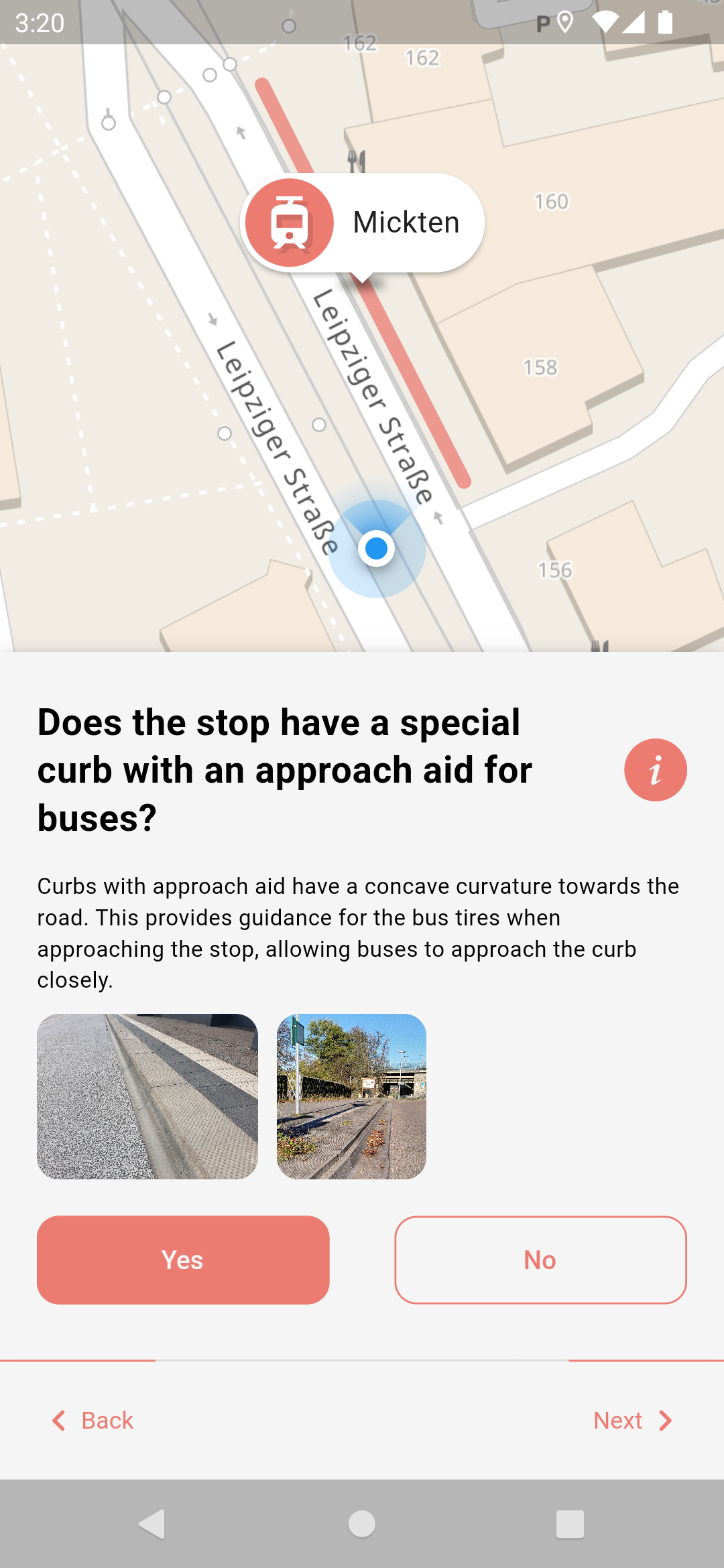
The goal of this app is to collect accessibility data for public transport stops in OpenStreetMap so that everyone can benefit from it. Due to the huge amount of public transport stops out there we want to encourage all citizen (experienced OSM users and newcomers) to help gathering this data. That's why we are developing this app that allows collecting the data in an easy, accessible and safe manner by asking simple questions. For deeper insight read the working principle of the app.
The data shall be the foundation for better routing especially for impaired people and lead to a renovation of non accessible stops, as well as many other things we ourselves can't even imagine right now.
Thanks and happy mapping!


We are always happy, if you not only want to help us mapping, but also want to directly participate in the project.
You can either open issues for enhancement suggestions and bug reports or help us developing the app further. A good starting point for the latter is to read the build instructions for the app.
You can also help translating the app at Weblate.
This app is released under the terms of the GNU General Public License v3.0 or later (GPL-3.0-or-later).

OpenStop is developed in the project OPENER next, which is funded by the German Federal Ministry for Digital and Transport as part of the mFUND innovation initiative.
Special thanks to Andy Allan (@gravitystorm) for granting us free access to the beautiful Thunderforest map tiles.
Flutter का नंबर 1 गैर-वाणिज्यिक लक्षित मानचित्र क्लाइंट: यह उपयोग में आसान, विविध, विक्रेता-मुक्त, पूरी तरह से क्रॉस-प्लेटफॉर्म है, और 100% शुद्ध-Flutter
MobX के लिए Flutter इंटीग्रेशन। यह ट्रैक किए गए ओब्जर्वेबल्स में परिवर्तन होने पर स्वचालित रूप से पुनर्निर्माण करने वाले Observer विजेट्स का सेट प्रदान करता है।
MobX एक पुस्तकालय है जो आपके अनुप्रयोगों के राज्य को प्रतिक्रियाशील ढंग से प्रबंधित करता है। डार्ट और फ्लटर ऐप्स को सुपरचार्ज करने के लिए ऑब्जर्वेबल, एक्शन और रिएक्शन की शक्ति का उपयोग करें।
Flutter के लिए भौगोलिक स्थिति प्लगइन। इस प्लगइन में सामान्य स्थिति (GPS आदि) कार्यों के लिए क्रॉस-प्लेटफॉर्म (iOS, Android) API प्रदान करता है।
2D और 3D अनुप्रयोगों के लिए एक वेक्टर गणित पुस्तकालय।
स्टैक ट्रेस के संचालन और उन्हें पढ़ने में आसान ढंग से प्रिंट करने के लिए एक पैकेज।
एक वेब सेवा के साथ उपयोगकर्ता की प्रमाणीकरण के लिए Flutter प्लगइन।
flutter_map टाइल परतों के लिए एक हल्का लेकिन शक्तिशाली कैशिंग प्लगइन।
सामान्य अक्षांश और देशांतर की गणना के लिए हल्का लाइब्रेरी
एक बिल्डर जो कोड में एक पैकेज संस्करण को निकालता है।
डार्ट और फ्लटर के लिए HTTP अनुरोध मॉकिंग लाइब्रेरी। अलगाव में अपने एप्लिकेशन का परीक्षण करें।
एक त्वरित एल्गोरिदम जो बहुभुज के अप्राप्य केंद्र को खोजने के लिए डार्ट लाइब्रेरी के रूप में कार्यान्वित होता है। बहुभुज पर टेक्स्ट लेबल के आदर्श स्थान के लिए उपयोगी है।
निर्भरता सूची 39 आइटम
{"sdk":"flutter"}{"sdk":"flutter"}^8.1.1^2.0.0+1^2.0.1^2.1.5^14.0.2^0.9.0^2.1.4^1.0.1^3.1.0{"git":{"url":"https://github.com/OPENER-next/animated_location_indicator.git"}}{"git":{"url":"https://github.com/OPENER-next/animated_marker_layer.git"}}{"git":{"url":"https://github.com/OPENER-next/osm_api.git"}}{"git":{"url":"https://github.com/OPENER-next/temaki_flutter.git"}}{"git":{"url":"https://github.com/OPENER-next/offline_geocoder.git"}}^1.17.0^5.1.0^2.5.5^11.1.0^6.0.17^5.1.0^3.1.0+7447^1.0.5{"git":{"url":"https://github.com/Robbendebiene/flutter-mvvm-architecture.git","ref":"cdbfec0bec66614abfbd154850a735dd0b026888"}}^7.6.0^2.2.0^2.0.6+5^0.7.1^8.0.0any^2.13.1{"sdk":"flutter"}^0.14.1^6.0.0^1.2.1^1.11.0^2.6.0^2.1.1उपयोग के अनुसार छाँटें, गतिविधि की तुलना करें और अपनाने से पहले मूल प्रोजेक्ट की आवश्यकताएँ जाँचें।
“A repository is the most basic element of GitHub.”
GitHub Docs — About repositories ↗
v0.10.1