
 v8.3.2
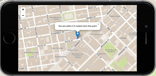
flutter_map
Flutter向けの1番目の非商用マップクライアント:使いやすく、多用途で、ベンダーに依存せず、完全にクロスプラットフォームであり、100%純粋なFlutterです
2180いいね 82.5万30日間ダウンロード160Pub ポイント
AndroidiOSWebmacOSWindowsLinux
SMASH Android/iOS デジタルフィールドマッピングアプリのソースコード。
 v8.3.2
Flutter向けの1番目の非商用マップクライアント:使いやすく、多用途で、ベンダーに依存せず、完全にクロスプラットフォームであり、100%純粋なFlutterです
 v10.1.0
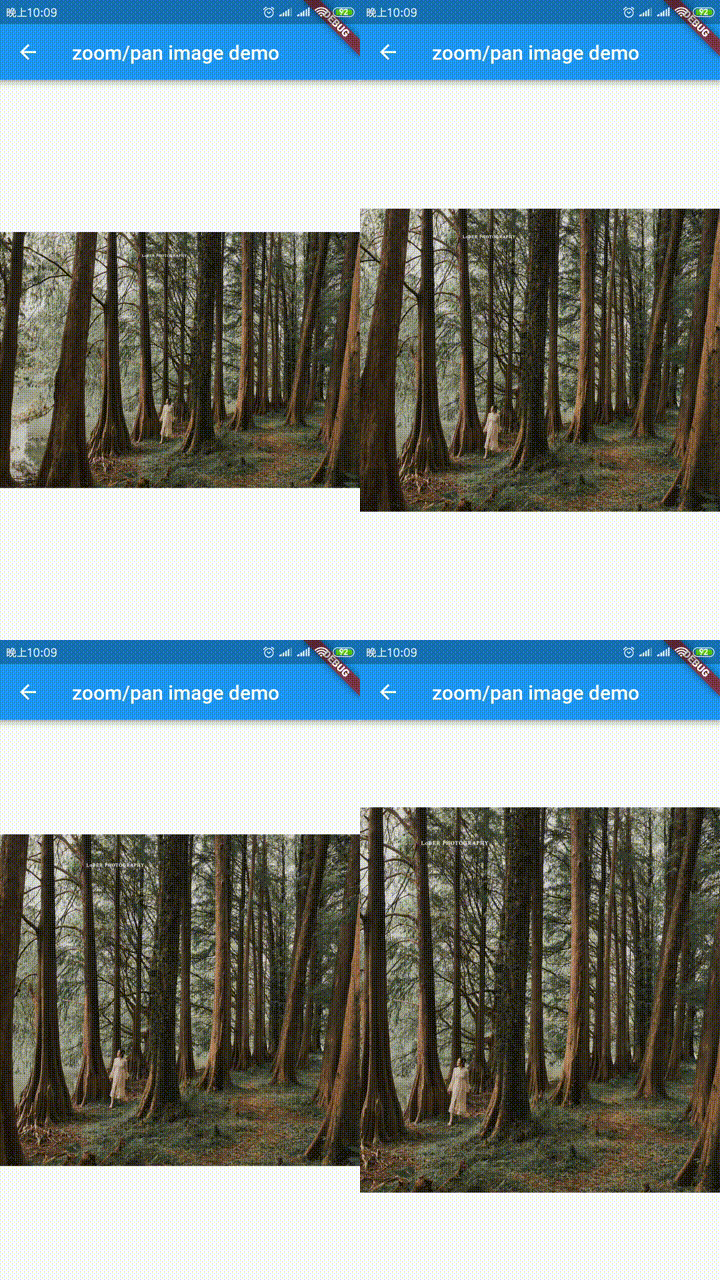
公式拡張画像、プレースホルダー(読み込み中)/失敗状態のサポート、ネットワークキャッシュ、ズーム/パン、写真ビューア、スライドアウトページ、エディタ(クロップ、回転、フリップ)、ペインティングなど。
 v4.0.1
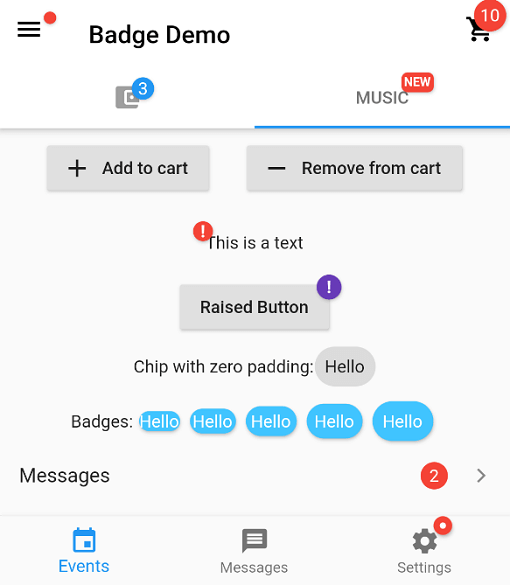
バッジを作成するためのパッケージです。バッジは、任意のウィジェットに対する追加のマーカーとして使用でき、たとえばショッピングカート内のアイテム数を表示するのに役立ちます。
ウィジェットの最初のレイアウトが完了した後、つまり最初のフレームが表示された後にコードを実行します。
非同期コードへの同時アクセスを防ぐためのロックメカニズム。
簡単なジオコーディングおよびリバースジオコーディング機能を提供するFlutter用ジオコーディングプラグインです。
スタックトレースを操作し、読みやすく出力するためのパッケージです。
公式のDart lintルール。Dartチームが推奨する「コア」と「推奨される」lintのセットを定義します。
 v4.1.0
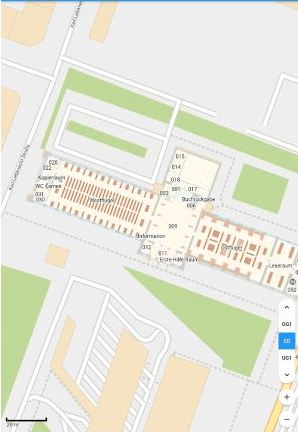
純粋なFlutterコードによるオフラインマップ。回転、マーカー、ヒルシェーディングなど多数の機能を提供します。
アプリが終了しても位置情報を取得するためのFlutterプラグイン。バックグラウンドで位置情報をDart関数に送信し、メートルフィルタも提供します。
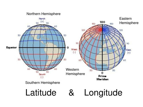 v0.10.1
一般的な緯度経度計算のための軽量ライブラリ
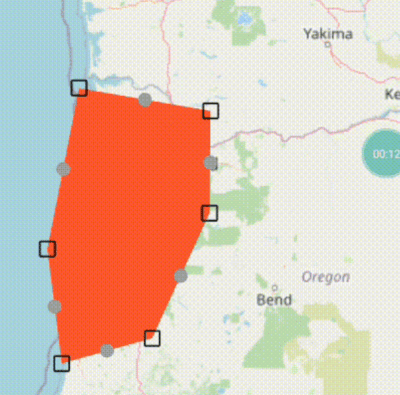 v8.0.0
`flutter_map` 用の基本的なラインおよびポリゴンエディタ(ドラッグマーカーを使用)
{"sdk":"flutter"}{"sdk":"flutter"}^0.18.1^0.4.0{"path":"./smashlibs/"}^6.0.4^3.8.3^4.0.7^1.1.0^0.8.1^0.3.0+1^1.1.0^0.6.3^0.3.3+4^8.0.0^8.1.1^1.4.2^3.0.1^0.9.1^3.0.0^2.0.1^0.5.39^10.0.1^1.0.0^12.0.1^3.0.0+3^3.0.2^1.2.0^8.0.2{"git":{"url":"https://github.com/moovida/background_locator_2","ref":"sanak/develop"}}2.0.1^1.11.0^6.1.5^6.1.0^2.3.0^0.13.1^1.24.3^1.0.1以下は英語原文のスナップショットです。最新版は GitHub をご覧ください。
A digital field mapping app for Android and iOS
for fast qualitative engineering/geologic surveys and GIS data-collection.
More info on the SMASH homepage
Help translate SMASH on Hosted Weblate.
Translation status
You can always add other languages.
# To solve Weblate duplicated translation issue
echo '{}' > lib/l10n/intl_nb.arb
echo '{}' > lib/l10n/intl_zh.arb
flutter pub get
flutter gen-l10n
flutter run
Or download the latest APK from the Releases Section.