
 v8.3.2
flutter_map
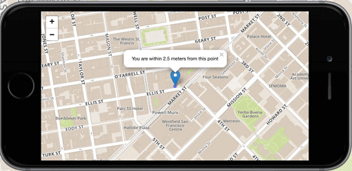
Flutter의 1위 비상업적 목적의 지도 클라이언트: 사용이 간편하고 유연하며 공급업체에 의존하지 않으며, 완전히 크로스 플랫폼이며 100% 순수한 Flutter입니다
2.2천좋아요 82.5만30일 다운로드160Pub 점수
AndroidiOSWebmacOSWindowsLinux
SMASH 안드로이드/iOS 디지털 현장 맵핑 앱의 소스 코드입니다.
 v8.3.2
Flutter의 1위 비상업적 목적의 지도 클라이언트: 사용이 간편하고 유연하며 공급업체에 의존하지 않으며, 완전히 크로스 플랫폼이며 100% 순수한 Flutter입니다
 v10.1.0
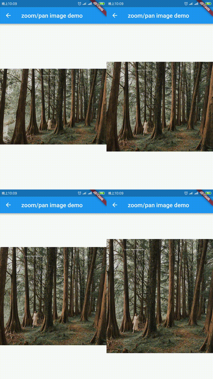
공식 확장 이미지, 플레이스홀더(로딩)/실패 상태 지원, 네트워크 캐시, 줌/팬, 사진 보기, 슬라이드 아웃 페이지, 편집기(자르기, 회전, 뒤집기), 그림 그리기 등
 v4.0.1
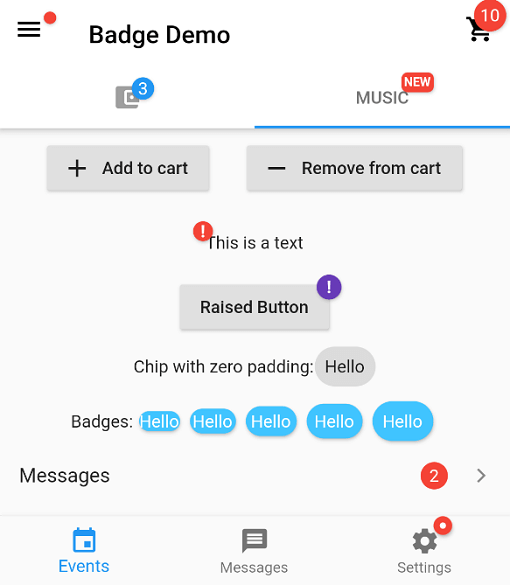
배지 생성을 위한 패키지입니다. 배지는 어떤 위젯에 대한 추가 마커로 사용할 수 있으며, 예를 들어 쇼핑카트의 항목 수를 표시하는 데 사용할 수 있습니다.
위젯의 첫 번째 레이아웃이 완료된 후 코드를 실행합니다. 즉, 첫 번째 프레임이 표시된 후입니다.
비동기 코드에 대한 동시 액세스를 방지하기 위한 잠금 메커니즘입니다.
간편한 지오코딩 및 리버스 지오코딩 기능을 제공하는 플러터 지오코딩 플러그인입니다.
스택 트레이스를 조작하고 가독성 있게 출력하기 위한 패키지입니다.
공식 Dart 린트 규칙. Dart 팀이 제안하는 '코어' 및 '권장' 린트 세트를 정의합니다.
 v4.1.0
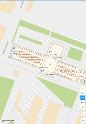
순수한 플러터 코드로 오프라인 지도를 제공합니다. 회전, 마커, 힐셰이딩 등 다양한 기능을 제공합니다.
앱이 종료된 상태에서도 위치를 요청하는 Flutter 플러그인입니다. 백그라운드에서 위치를 Dart 함수로 전송하며, 미터 필터도 제공합니다.
 v0.10.1
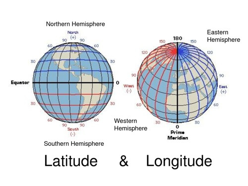
일반적인 위도 및 경도 계산을 위한 가벼운 라이브러리
 v8.0.0
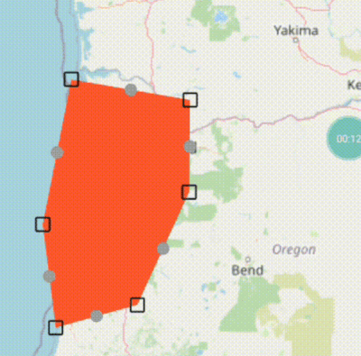
`flutter_map`용 기본 라인 및 다각형 편집기 (드래그 마커 사용)
{"sdk":"flutter"}{"sdk":"flutter"}^0.18.1^0.4.0{"path":"./smashlibs/"}^6.0.4^3.8.3^4.0.7^1.1.0^0.8.1^0.3.0+1^1.1.0^0.6.3^0.3.3+4^8.0.0^8.1.1^1.4.2^3.0.1^0.9.1^3.0.0^2.0.1^0.5.39^10.0.1^1.0.0^12.0.1^3.0.0+3^3.0.2^1.2.0^8.0.2{"git":{"url":"https://github.com/moovida/background_locator_2","ref":"sanak/develop"}}2.0.1^1.11.0^6.1.5^6.1.0^2.3.0^0.13.1^1.24.3^1.0.1아래는 영문 원문 스냅샷입니다. 최신 내용은 GitHub에서 확인하세요.
A digital field mapping app for Android and iOS
for fast qualitative engineering/geologic surveys and GIS data-collection.
More info on the SMASH homepage
Help translate SMASH on Hosted Weblate.
Translation status
You can always add other languages.
# To solve Weblate duplicated translation issue
echo '{}' > lib/l10n/intl_nb.arb
echo '{}' > lib/l10n/intl_zh.arb
flutter pub get
flutter gen-l10n
flutter run
Or download the latest APK from the Releases Section.