Orientação gerada a partir de informações públicas. Apenas para referência.
Um pacote Flutter para seleção de localizações no mapa com geocodificação gratuita via Nominatim, oferecendo uma solução totalmente de código aberto. Ele suporta integração com Mapbox para capacidades de mapeamento aprimoradas. O seletor permite que os usuários pesquisem e selecionem localizações diretamente em um mapa, sendo ideal para aplicativos que exigem entrada de endereço ou seleção de localização sem depender de serviços pagos. Projetado para simplicidade e desempenho, integra-se perfeitamente aos projetos Flutter.
Casos de uso
Busca de endereço em formulários
Seleção de localização para aplicativos de entrega
Recursos baseados em geolocalização em aplicativos de viagem
Aplicativos que precisam de seletores leves de localização
Projetos evitando custos de API
Aplicações de viagem e logística
equipes focadas em código aberto
Considerações
Depende da disponibilidade do serviço externo Nominatim
Limites de taxa podem se aplicar com alto uso
O Mapbox exige uma chave de API separada
Funcionalidade offline limitada
Requer conexão com a internet para geocodificação
README original
Snapshot do README original do repositório-fonte vinculado. Consulte o repositório para o conteúdo mais recente.
Nominatim Location Picker
Nominatim Location Picker is a package that appears as a FREE alternative (WITH NO API KEYS OR EVEN ACCESSTOKEN, NONE OF THEM ARE NECESSARY) with support for Geocoding with a beautiful and coherent interface using the OpenStreetMap Nominatim.
In the current version, support for Mapbox has also been added, with an interface in line with Nominatim so you can choose which one to use or vary between the two of them.
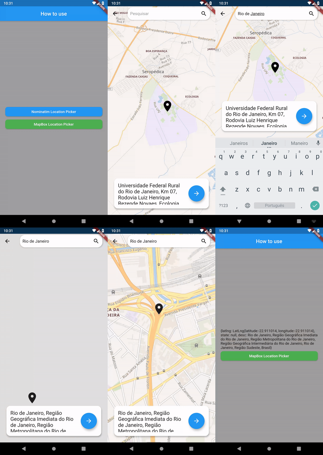
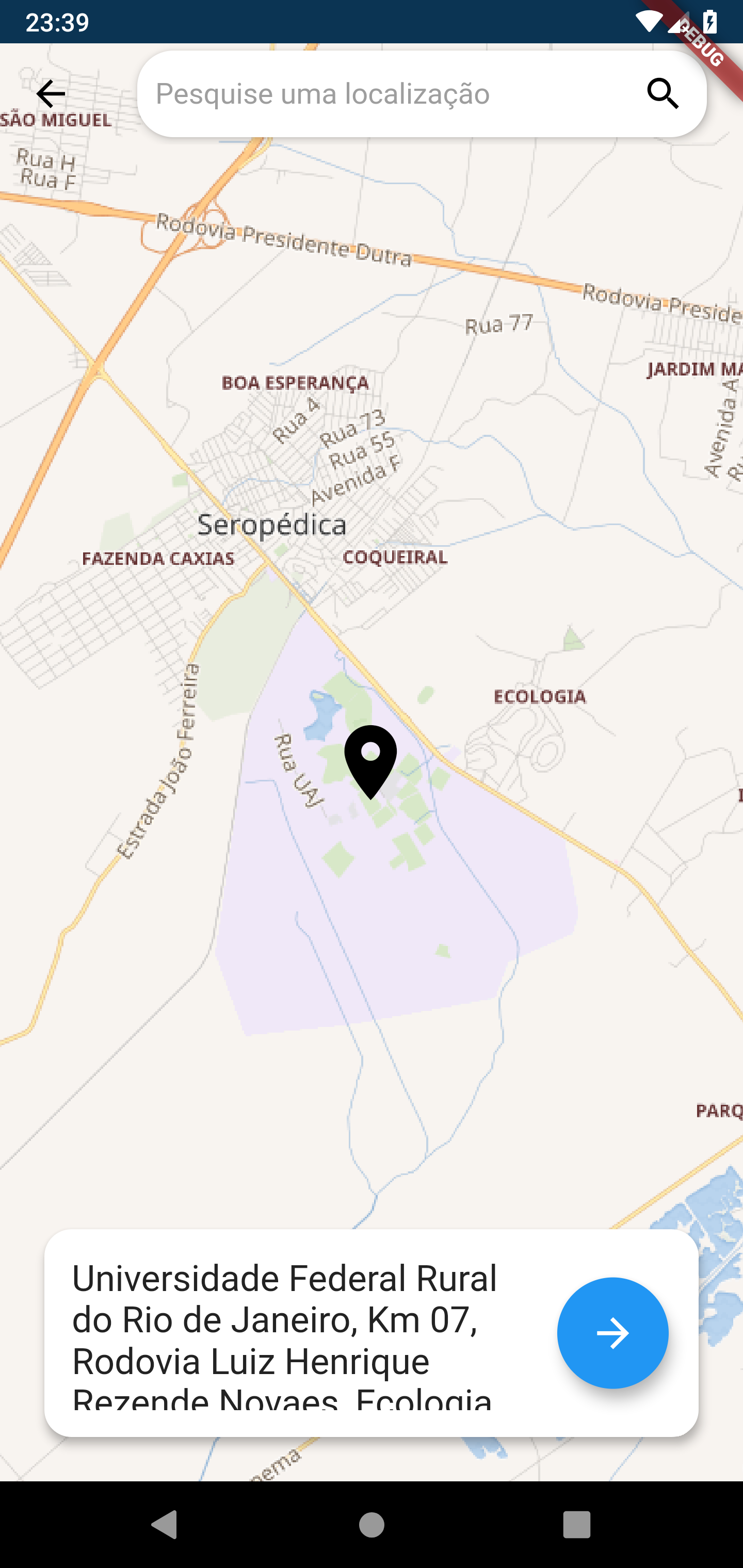
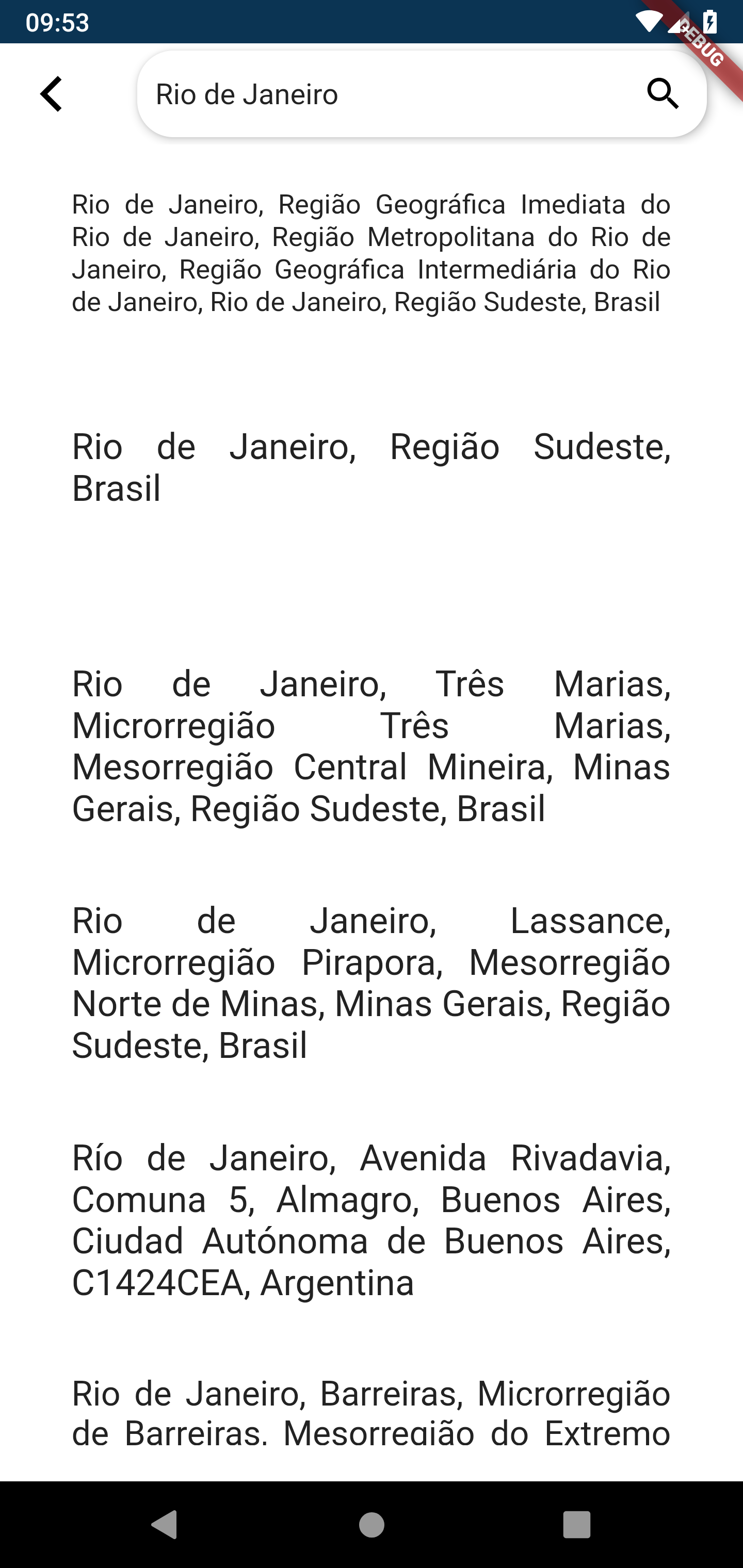
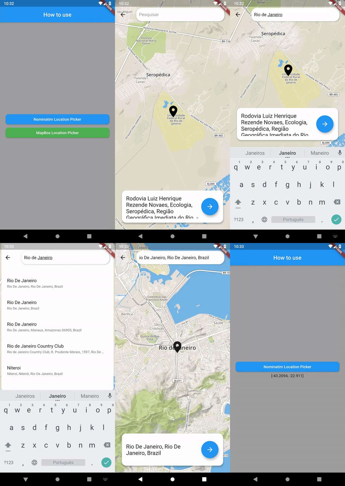
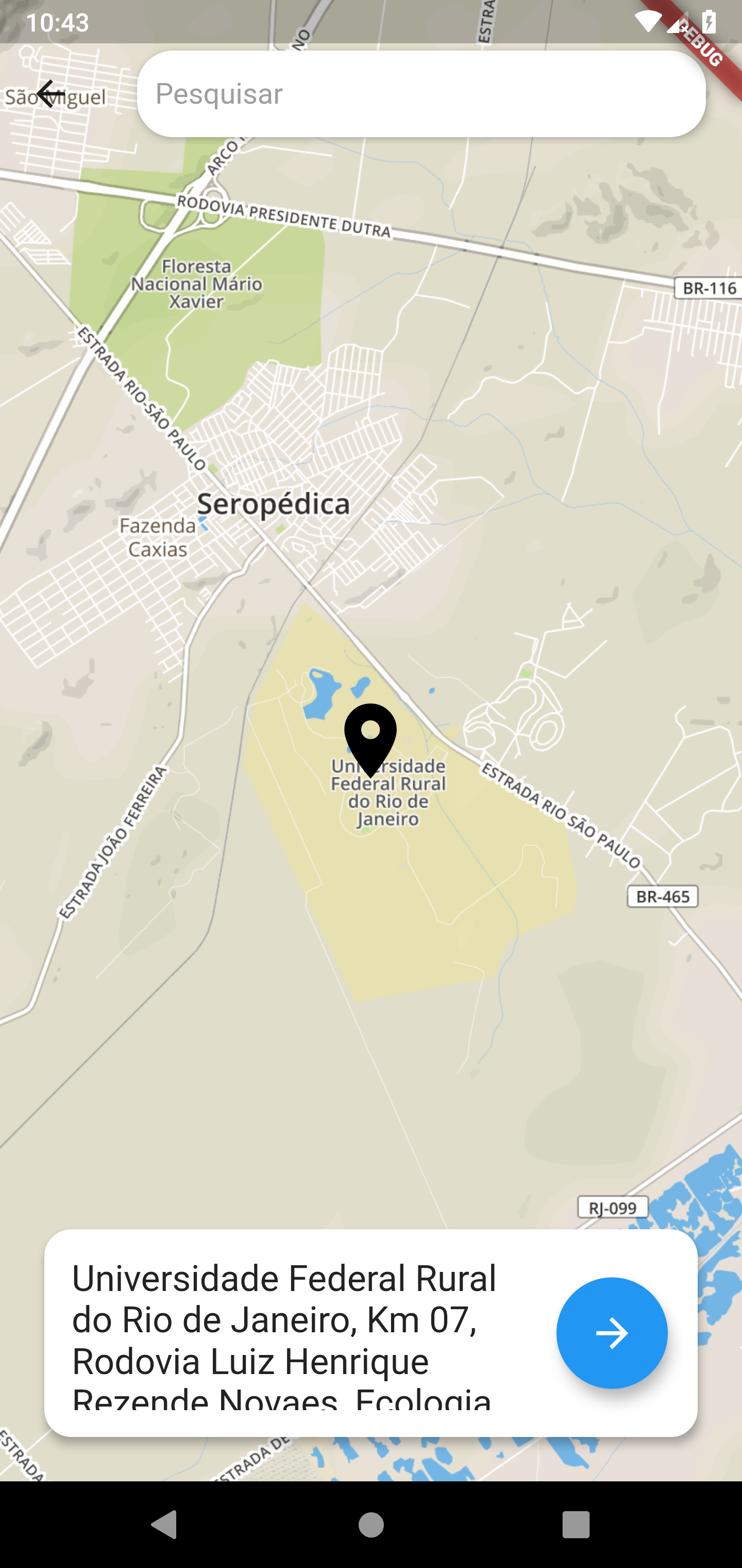
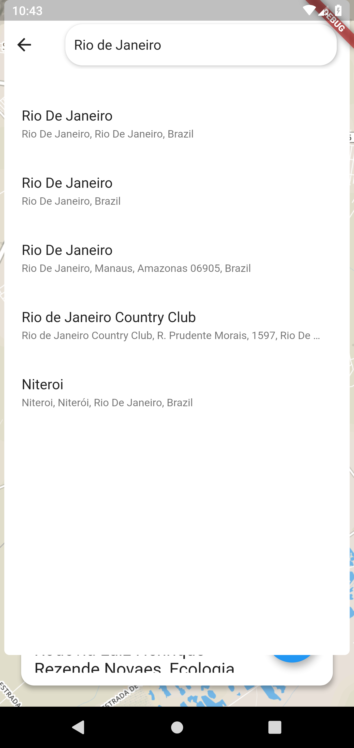
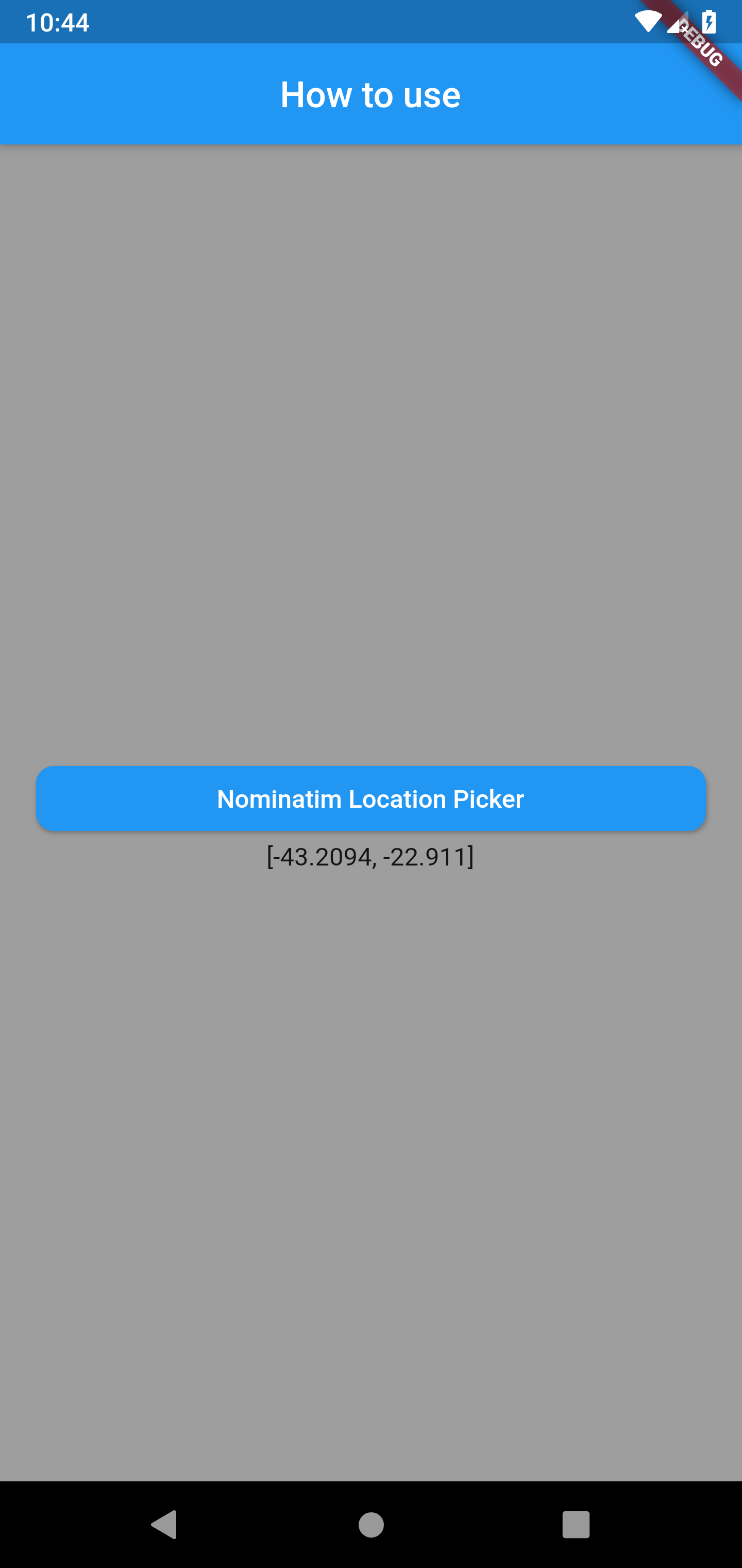
Nominatim Location Picker Screenshots
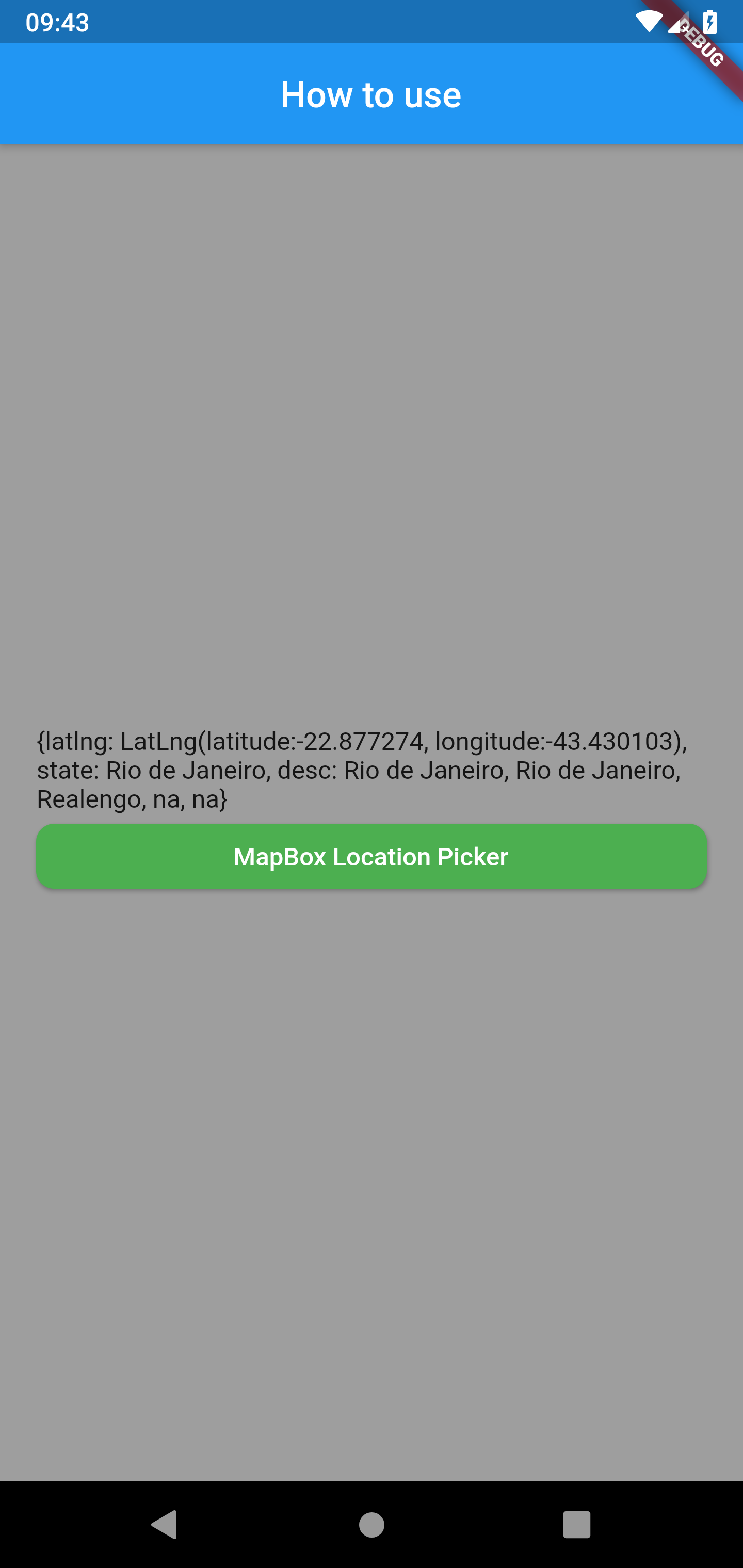
MapBox Location Picker Screenshots
Nominatim Location Picker's version 0.1.0+7 features!
- Custom Maps and Markers
- Support with the same interface for MapBox;
- Auto search with MapBox
- Geocoding search with Nominatim and Mapbox;
- Get Current User Location;
- Returns the Latitude and Longitude coordinates of the searched location;
- Returns the description of the searched location;
- Returns the Country, State, city and district of the searched Location in both Nominatim and MapBox;
OpenStreetMap Nominatim
Nominatim (from the Latin, 'by name') is a tool to search OpenStreetMap data
by name and address (geocoding) and to generate synthetic addresses of
OSM points (reverse geocoding). An instance with up-to-date data can be found
at https://nominatim.openstreetmap.org. Nominatim is also used as one of the
sources for the Search box on the OpenStreetMap home page.
Nominatim's Documentation
The documentation of the latest development version is in the
docs/ subdirectory. A HTML version can be found at
https://nominatim.org/release-docs/develop/ .
Nominatim's Limitations
No heavy uses (an absolute maximum of 1 request per second).
Provide a valid HTTP Referer or User-Agent identifying the application (stock User-Agents as set by http libraries will not do).
Clearly display attribution as suitable for your medium.
Data is provided under the ODbL license which requires to share alike (although small extractions are likely to be covered by fair usage / fair dealing).
MapBox
Mapbox is a large provider of custom online maps for websites and applications. Since 2010, it has rapidly expanded the niche of custom maps, as a response to the limited choice offered by map providers such as Google Maps.
MapBox's Documentation
Mapbox APIs are divided into four distinct services: Maps, Navigation, Search, and Accounts. Each of these services has its own overview page in this documentation. These overview pages are divided into the individual APIs that make up the service. The documentation for each API is structured by endpoints. An endpoint is a specific method within an API that performs one action and is located at a specific URL
android.permission.ACCESS_FINE_LOCATION Allows the API to determine as precise a location as possible from the available location providers, including the Global Positioning System (GPS) as well as WiFi and mobile cell data.
android.permission.ACCESS_COARSE_LOCATION Allows the API to use WiFi or mobile cell data (or both) to determine the device's location. The API returns the location with an accuracy approximately equivalent to a city block.
import'package:nominatim_location_picker/nominatim_location_picker.dart';
WidgetgetLocationWithMapBox() {
returnMapBoxLocationPicker(
popOnSelect: true,
apiKey: "YOUR API KEY",
limit: 10,
language: 'pt',
country: 'br',
searchHint: 'Pesquisar',
awaitingForLocation: "Procurando por sua localização",
onSelected: (place) {
setState(() {
_pickedLocationText = place.geometry.coordinates; // Example of how to call the coordinates after using the Mapbox Location Pickerprint(_pickedLocationText);
});
},
context: context,
);
}
MapBox Location Picker with Custom Maps and Markers