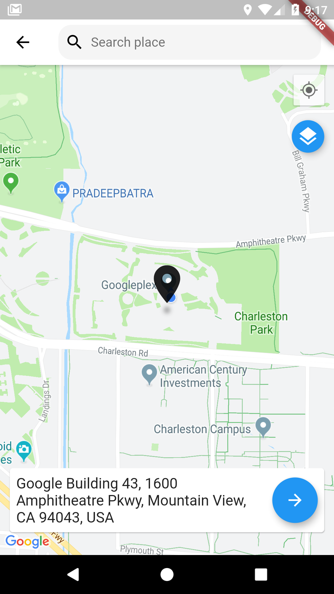
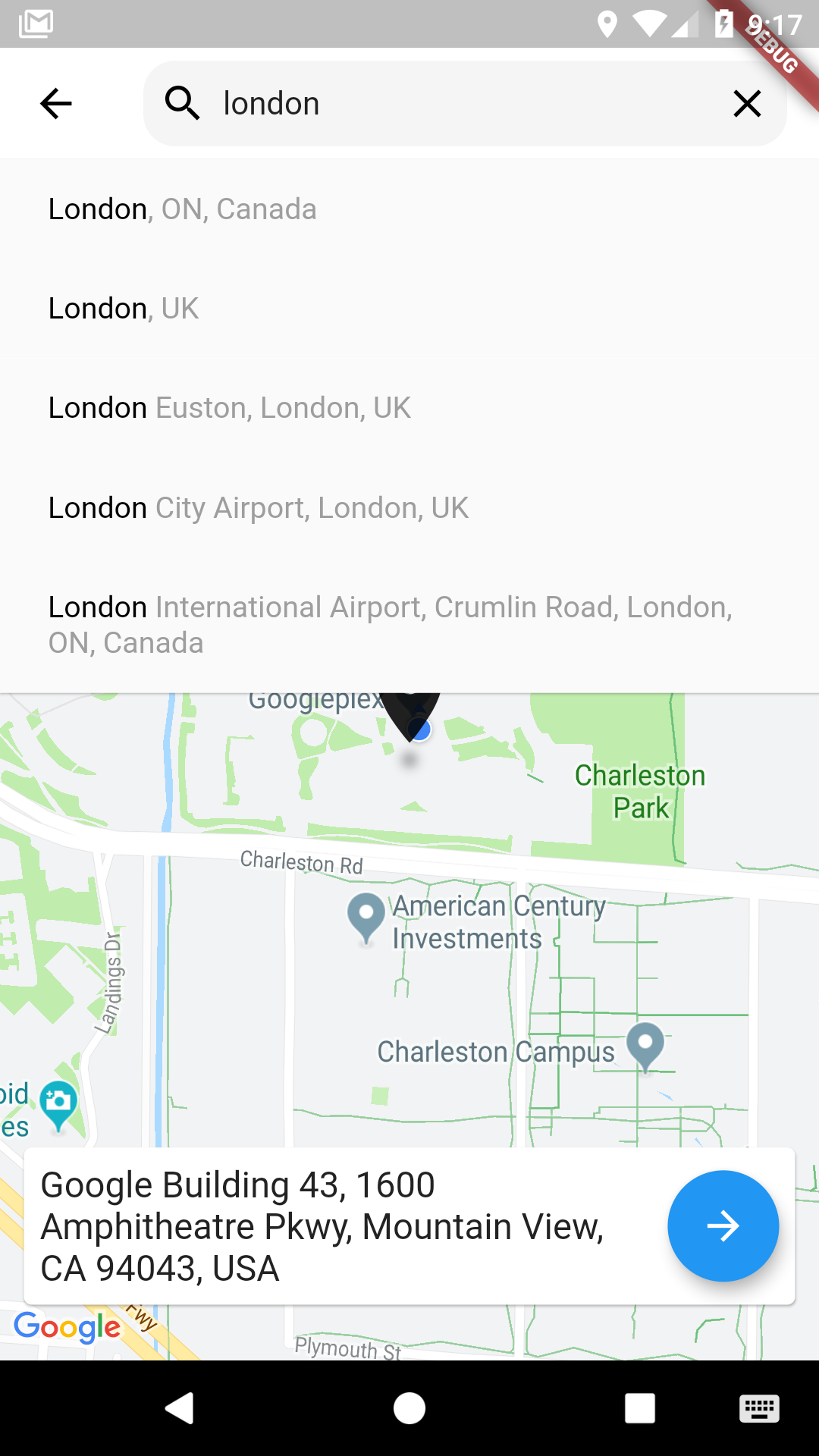
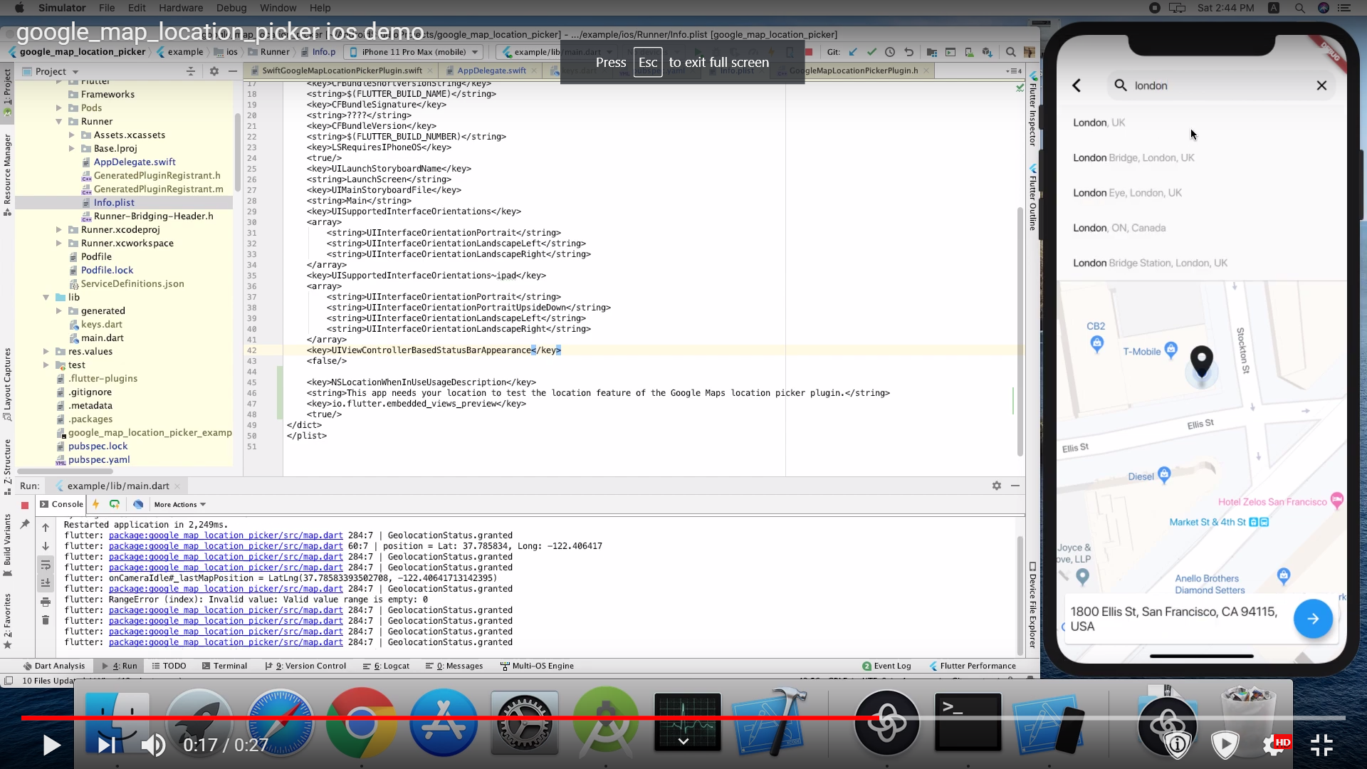
Aus öffentlichen Paketdaten erstellte Orientierung.
Ein Flutter-Paket, das Benutzern die Auswahl von Orten auf einer Google-Karte mit einer intuitiven Oberfläche ermöglicht. Auf google_maps_flutter aufgebaut, bietet es eine nahtlose Möglichkeit, Koordinaten auszuwählen und Adressdetails abzurufen. Ideal für Apps, die Standorteingaben erfordern, wie Lieferdienste, Reise-Apps oder Veranstaltungsplanungstools. Der Picker unterstützt interaktive Karten-Navigation, Markierungsorte und automatische Geokodierung. Er vereinfacht die Integration von kartengestützter Standortauswahl in Flutter-Anwendungen ohne umfangreiche individuelle Entwicklung.
Anwendungsfälle
Lieferadressen auswählen
Buchungsorte für Veranstaltungen
Geolokalisierung von Benutzercheck-ins
Integration von kartenbasierten Formularen
Abholpunkte in Carsharing-Apps festlegen
Hauptmerkmale
Interaktive Google-Karten-Integration
Markierungsort und Drag-Unterstützung
Automatische Geokodierung aus Kartenklicks
Anpassbare Benutzeroberflächenkomponenten
Gibt Breite, Länge und formatierte Adresse zurück
Geeignet für
Apps, die präzise Standorteingaben benötigen
Entwickler, die Google Maps in Flutter verwenden
Standortbewusste Formularfelder
Reise- und Logistikplattformen
Benutzeroberflächen für die Adressauswahl
Hinweise
Erfordert Google Maps-API-Schlüssel
Beschränkt auf Android und iOS (kein Web-Unterstützung)
Abhängig vom google_maps_flutter-Plugin
Kann zusätzliche Berechtigungen für den Standortzugriff erfordern
Die Leistung hängt von der Qualität der Kartendarstellung ab
Original-README
Originaler README-Schnappschuss aus dem verknüpften Quell-Repository. Aktuelle Inhalte finden Sie im Repository.
you need also to define NSLocationWhenInUseUsageDescription
<key>NSLocationWhenInUseUsageDescription</key>
<string>This app needs your location to test the location feature of the GoogleMaps location picker plugin.</string>
Note
The following permissions are not required to use Google Maps Android API v2, but are recommended.
android.permission.ACCESS_COARSE_LOCATION Allows the API to use WiFi or mobile cell data (or both) to determine the device's location. The API returns the location with an accuracy approximately equivalent to a city block.
android.permission.ACCESS_FINE_LOCATION Allows the API to determine as precise a location as possible from the available location providers, including the Global Positioning System (GPS) as well as WiFi and mobile cell data.
You must also explicitly declare that your app uses the android.hardware.location.network or android.hardware.location.gps hardware features if your app targets Android 5.0 (API level 21) or higher and uses the ACCESS_COARSE_LOCATION or ACCESS_FINE_LOCATION permission in order to receive location updates from the network or a GPS, respectively.
The following permissions are defined in the package manifest, and are automatically merged into your app's manifest at build time. You don't need to add them explicitly to your manifest:
android.permission.INTERNET Used by the API to download map tiles from Google Maps servers.
android.permission.ACCESS_NETWORK_STATE Allows the API to check the connection status in order to determine whether data can be downloaded.
Restricting Autocomplete Search to Region
The LocationResults returned can be restricted to certain countries by passing an array of country codes into the countries parameter of showLocationPicker(). Countries must be two character, ISO 3166-1 Alpha-2 compatible.
You can find code information at Wikipedia: List of ISO 3166 country codes or the ISO Online Browsing Platform.
The example below restricts Autocomplete Search to the United Arab Emirates and Nigeria