सार्वजनिक जानकारी से बना चयन मार्गदर्शन। केवल संदर्भ हेतु।
geojson_vi एक खुला स्रोत Dart और Flutter प per है, जिसका उपयोग RFC 7946 के सख्त अनुपालन के साथ GeoJSON डेटा को कुशलता से प्रसंस्करण के लिए किया जाता है। यह डेवलपर्स को बिंदुओं, रेखाओं, बहुभुजों और विशेषता संग्रहों जैसी GeoJSON संरचनाओं को पार्स, मान्यता देने और संशोधित करने में सक्षम बनाता है, जो विभिन्न प्लेटफॉर्मों पर Flutter एप्लिकेशन में उपलब्ध हैं। लाइब्रेरी Android, iOS, Web, macOS, Windows और Linux एप्लिकेशन में बिना किसी दिक्कत के एकीकरण के लिए समर्थन करती है, जिससे यह स्थान-आधारित सेवाओं और मैपिंग फीचर्स के लिए आदर्श बन जाती है। प्रदर्शन और सहीता पर ध्यान केंद्रित करते हुए, geojson_vi आधुनिक Flutter प्रोजेक्ट्स में भौगोलिक डेटा के साथ काम करने को सरल बनाती है।
उपयोग
मैप-आधारित एप्लिकेशन
भूस्थानिक डेटा दृश्यकरण
स्थान-जागरूक विशेषताएं
जीआईएस वर्कफ्लो के लिए डेटा सत्यापन
मानचित्रण एपीआई के साथ एकीकरण
मुख्य विशेषताएँ
RFC 7946 के अनुरूप
क्रॉस-प्लेटफ़ॉर्म समर्थन
प्रभावी विश्लेषण और अनुक्रमण
सभी जियोजेएसओएन प्रकारों का समर्थन
हल्का और एकीकरण में आसान
इनके लिए उपयुक्त
मानचित्र के साथ काम कर रहे Flutter विकासकर्ता
मोबाइल ऐप्स में जीआईएस डेटा हैंडलिंग
सटीक GeoJSON प्रसंस्करण की आवश्यकता वाले अनुप्रयोग
प्लेटफॉर्म-स्वतंत्र भौगोलिक डेटा उपकरण की आवश्यकता वाले प्रोजेक्ट
खुले स्रोत जियोजेसन समाधान की तलाश में विकासकर्ता
विचार योग्य बातें
GeoJSON संरचना की समझ आवश्यक है
GeoJSON-विशिष्ट संचालन तक सीमित
निर्मित मानचित्र रेंडरिंग नहीं है
प्रदर्शन के लिए बाहरी मैपिंग पुस्तकालयों पर निर्भर है
बड़े पैमाने पर स्थानिक विश्लेषण के लिए अनअनुकूलित
मूल README
संबंधित सोर्स रिपॉज़िटरी के मूल README का स्नैपशॉट। नवीनतम सामग्री के लिए रिपॉज़िटरी देखें।
geojson_vi: An Open-Source Dart and Flutter Library for Efficiently Handling GeoJSON Data in Compliance with RFC 7946
geojson_vi is an open-source library for Dart and Flutter developers, specifically designed to provide comprehensive support for the GeoJSON geospatial data interchange format as per the RFC 7946 standard. The software is a flexible, reliable tool that allows developers to parse, read, create, update, search, and delete geospatial data effectively.
Feature Highlights of geojson_vi
Powerful Tools for Efficient GeoJSON Data Handling. Some of the primary ones include:
Parsing and Reading GeoJSON Data: geojson_vi allows developers to quickly parse and read GeoJSON data, ensuring full compliance with RFC 7946 standard.
Creating, Updating, Searching, and Deleting GeoJSON Data: With geojson_vi, developers can easily manipulate GeoJSON data, from creating new data entries to updating, searching, and deleting existing data.
Support for All GeoJSON Objects: geojson_vi offers comprehensive support for a wide range of Geometry types (GeoJSONPoint, GeoJSONMultiPoint, GeoJSONLineString, GeoJSONMultiLineString, GeoJSONPolygon, GeoJSONMultiPolygon, GeoJSONGeometryCollection), Feature, and FeatureCollection, making it a versatile tool for effectively managing diverse geospatial data.
GeoJSON UML Model
Class structure of the geojson_vi library
Detailed Class Diagram of GeoJSON Geometry in the geojson_vi library
Usage
Create GeoJSON object
final map = {
'type': 'Point',
'coordinates': [105.77389, 21.0720414]
};
final jsonString =
'{"type": "Point", "coordinates": [105.78070163726807, 21.067921688241626]}';
final polygonCoordinates = [
[
[104.765625, 20.468189],
[106.545410, 20.468189],
[106.545410, 21.596150],
[104.765625, 21.596150],
[104.765625, 20.468189]
]
];
// Creating a GeoJSON object from data without knowing its typefinal pointFromMap = GeoJSON.fromMap(map);
// Creating a GeoJSONPoint object from a JSON string when the type is knownfinal pointFromJSON = GeoJSONPoint.fromJSON(jsonString);
// Creating a GeoJSONGeometry object from data without knowing its typefinal geometryFromMap = GeoJSONGeometry.fromMap(map);
// Creating a GeoJSONPoint object from a JSON string when the type is knownfinal geometryFromJSON = GeoJSONPoint.fromJSON(jsonString);
// Creating a GeoJSONPoint object from coordinates datafinal pointFromCoordinates = GeoJSONPoint([105.77389, 21.0720414]);
// Creating a GeoJSONFeature objectfinal feature = GeoJSONFeature(
GeoJSONPoint([105.780701, 21.067921]),
properties: {
'title': 'Hanoi University of Mining and Geology',
'url': 'http://humg.edu.vn',
},
);
// Creating a GeoJSONFeatureCollection objectfinal featureCollection = GeoJSONFeatureCollection([]);
featureCollection.features.add(feature);
// Creating more GeoJSONFeaturefinal polygon = GeoJSONPolygon(polygonCoordinates);
final polygonFeature = GeoJSONFeature(polygon);
featureCollection.features.add(polygonFeature);
Demo
import'package:geojson_vi/geojson_vi.dart';
voidmain() {
final featureCollection = GeoJSONFeatureCollection([]);
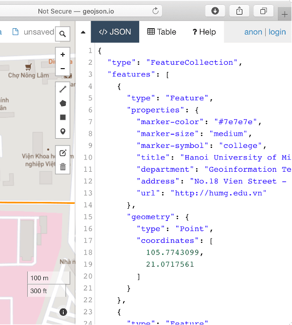
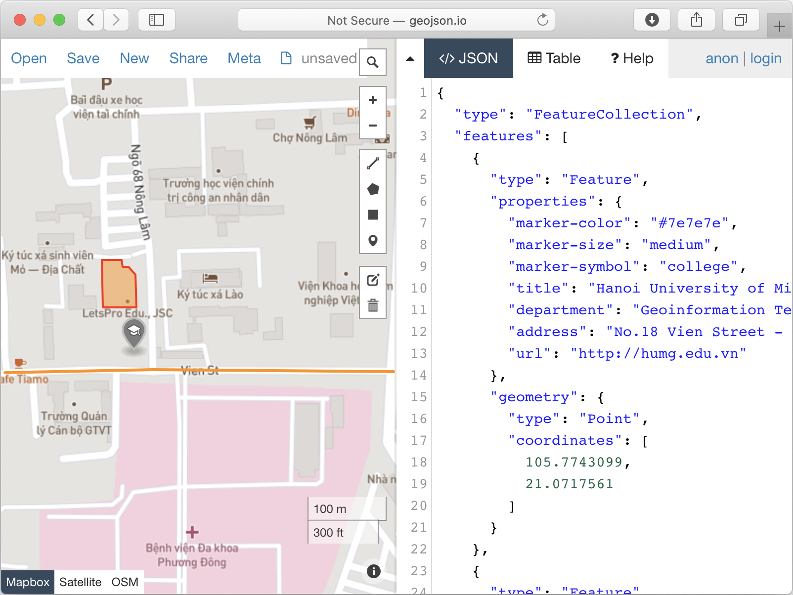
final point = GeoJSONPoint([105.7743099, 21.0717561]);
final feature = GeoJSONFeature(point, properties: {
'marker-color': '#7e7e7e',
'marker-size': 'medium',
'marker-symbol': 'college',
'title': 'Hanoi University of Mining and Geology',
'department': 'Geoinformation Technology',
'address':
'No.18 Vien Street - Duc Thang Ward - Bac Tu Liem District - Ha Noi, Vietnam',
'url': 'http://humg.edu.vn'
});
featureCollection.features.add(feature);
final pos1 = [105.7771289, 21.0715458];
final pos2 = [105.7745218, 21.0715658];
final pos3 = [105.7729125, 21.0715358];
final lineString = GeoJSONLineString([pos1, pos2, pos3]);
featureCollection.features.add(GeoJSONFeature(lineString, properties: {
'stroke': '#7e7e7e',
'stroke-width': 2,
'stroke-opacity': 1,
'title': 'Vien St.'
}));
final p01 = [105.7739666, 21.0726795]; // The first positionfinal p02 = [105.7739719, 21.0721991];
final p03 = [105.7743394, 21.0721966];
final p04 = [105.7743310, 21.0725269];
final p05 = [105.7742564, 21.0726120];
final p06 = [105.7741865, 21.0726095];
final p07 = [105.7741785, 21.0726746];
final p08 = [105.7739666, 21.0726795]; // The last positionfinal linerRing = [p01, p02, p03, p04, p05, p06, p07, p08];
featureCollection.features.add(
GeoJSONFeature(
GeoJSONPolygon([linerRing]),
properties: {
'stroke': '#555555',
'stroke-width': 2,
'stroke-opacity': 1,
'fill': '#ab7942',
'fill-opacity': 0.5,
'title': "HUMG's Office"
},
),
);
print(featureCollection.toJSON());
}