
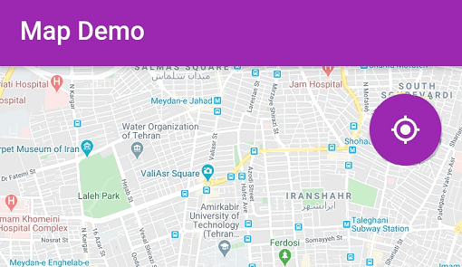
Overview
A Flutter widget for displaying geographical maps with support for multiple map projections, including EPSG4326, Mercator, and WGS1984. It enables developers to integrate interactive maps into their apps across Android, iOS, Web, macOS, Windows, and Linux platforms. The package provides a flexible foundation for customizing map layers, markers, and interactions. Built on top of the flutter_map open-source project, it offers robust geospatial rendering and is suitable for location-based applications requiring precise map visualization.
Use cases
- Interactive map displays
- Location tracking interfaces
- Geospatial data visualization
- Route planning tools
- Field data collection apps
Key features
- Multiple projection support
- Cross-platform compatibility
- Customizable map layers
- Marker and popup integration
- Zoom and pan controls
Suitable for
- Mobile and web location apps
- GIS-integrated applications
- Data-driven mapping dashboards
- Field service management tools
- Educational geography apps
Considerations
- Requires proper coordinate system alignment
- Performance may vary with high data density
- Additional dependencies for advanced features
- Limited built-in map styles
- Needs careful handling of offline map caching