
Overview
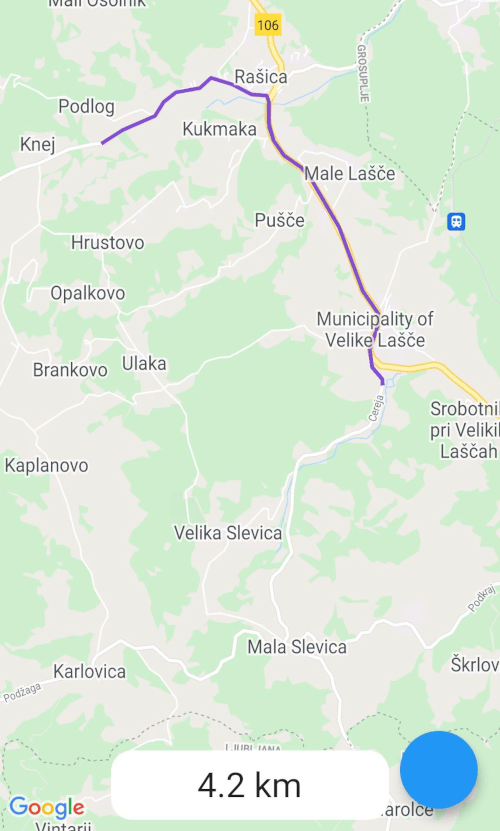
A Flutter package that enables drawing routes on Google Maps using the Google Directions API. It simplifies route visualization by fetching and rendering directions between locations, supporting real-time navigation paths on Android, iOS, and web platforms. The package integrates seamlessly with Google Maps for Flutter, allowing developers to display polyline routes, waypoints, and travel details. Ideal for apps requiring turn-by-turn navigation or location-based routing features.
Use cases
- Displaying driving directions
- Visualizing walking or cycling routes
- Integrating turn-by-turn navigation
- Building delivery or ride-sharing apps
- Creating travel itinerary planners
Key features
- Route drawing with polylines
- Support for multiple waypoints
- Integration with Google Directions API
- Cross-platform compatibility (Android, iOS, Web)
- Easy setup with minimal configuration
Suitable for
- Navigation app developers
- Logistics and delivery applications
- Travel and tourism apps
- Location-based service platforms
- Apps requiring dynamic route rendering
Considerations
- Requires a valid Google Maps API key
- Depends on internet connectivity
- May incur usage costs from Google Directions API
- Limited to Google Maps platform
- Rate limits apply based on API usage tier